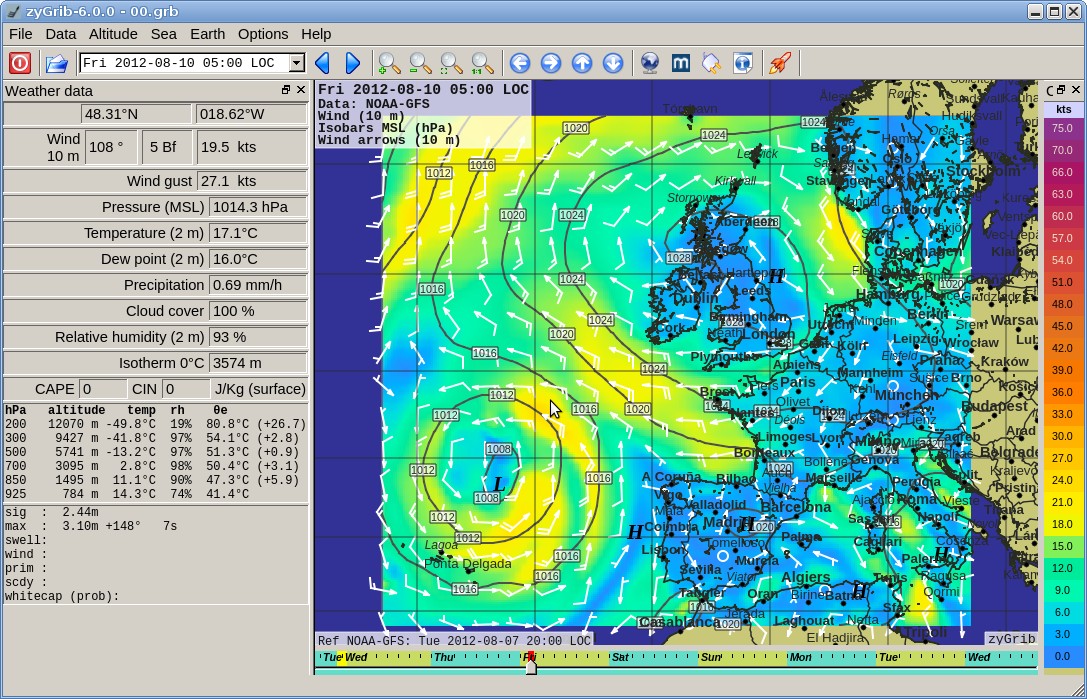
The features include:
- Pressure at mean sea level *
- Wind 10 m above surface *
- Wind gust *
- Temperature 2 m above surface *
- Temperature min and max 2 m above surface *
- Relative Humidity 2 m above surface *
- Total precipitation (mm/h) *
- Total Cloud Cover (%) *
Animated samples
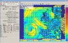
 Hurricane Isaac
(2012-08-26)
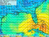
Hurricane Isaac
(2012-08-26)
Storm Xynthia (2010-02-28)
Hurricane Earl (2010-08-30)
Typhoon Man-Yi hits Japan
(2013-09-15) - Dew Point 2 m above surface *
- 0°C Isotherm altitude
- Snow (Depth - Risk)
- CAPE (convective available potential energy) and CIN (convective inhibition) *
- Data in altitude (925, 850 *, 700 *, 500 *, 300, 200 hPa) : geopotential altitude, wind *, temperature *, theta-e, relative humidity *.
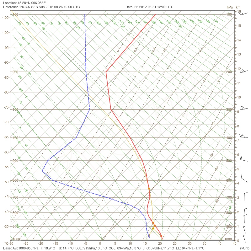
- Display of atmospheric sounding forecast on thermodynamic diagrams SkewT-LogP.
- Waves : height, direction, period, whitecap probability, for wind waves, swell, and for significant, maximum, primary, secondary waves.
- Sea current (not provided by the zyGrib's data server)
Specific GRIB files created by and for zyGrib;
- from NOAA
 (GFS Model);
- Updates every 6 hours (depends on NOAA data availability);
- Forecast up to 10 days by 3 hours steps;
- Worldwild Cover (0.25°x0.25°).
- Waves data from the FNMOC

- Global model: grid 1°x1°, forecast up to 7 days: the world's oceans.
- Local model: grid 0.2°x0.2°, forecast up to 3 days: Mediterranean Sea, Black Sea, NE Atlantic Ocean around Europe, Baltic Sea,
- Weather Data from NOAA;
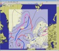
- Analysis and 24 hours Forecast, only for Europa and North Atlantic (pressure, isobar and fronts);
- Daily four times update;
- IAC (International Analysis Codem, fleetcode) files are very small and can be used with PSKmail (For any questions, please refer directly to PSKMail conceptors; I don't know anything about it).

http://www.zygrib.org/index.php?page=abstract_en
No comments:
Post a Comment